

Photogrammetry
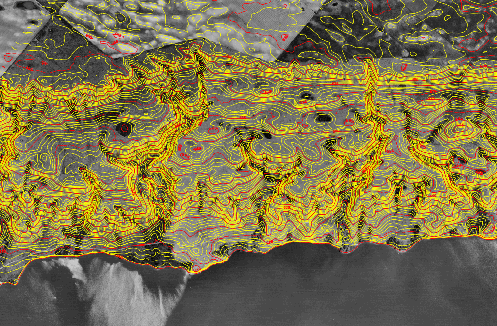
GeoFocus offers start to finish photogrammetry services for your project. Aerial Photography acquisition through to cartographic plotting to GIS database management. WE provide:
- GPS Control
- Aerial Photography
- Airborne GPS and Triangulation
- Triangulation & Adjustments
- Precise Photogrammetric Observations
- Contour and Feature Mapping
